Planning a trip through the Northeast—whether it’s a road‑trip across New England, a cycling route from Boston to Albany, or a hiking expedition through the Adirondacks—often starts with a reliable map. A personalized blank map lets you sketch routes, highlight points of interest, and keep the information flexible, so you can update it as plans evolve.
Choosing the Right Base – From Paper to Digital Templates
Begin by deciding whether a physical or digital canvas best serves your needs. For hard‑copy enthusiasts, high‑resolution printable PDFs (300 dpi) or thick, acid‑free paper provide a tactile experience and can be easily annotated with pens or markers. Digital options, such as vector files (SVG, EPS) or large‑format PNGs, allow you to edit layers, import satellite imagery, and share the map online. When selecting a template, look for:
- Scale Accuracy: A 1:250 000 or 1:500 000 scale is ideal for statewide overviews.
- Projection: Lambert conformal conic is common for the Northeast, keeping distances reasonably true.
- Margins: Leave at least a 1‑inch border for notes and embellishments.
Once the base is chosen, import the file into a design program—Inkscape for free vector editing or Adobe Illustrator for a polished finish. If you’re working with a printed sheet, consider using a ruler and a pencil to outline major highways, state borders, and topographic features before adding color.

Customizing Details – Marking Roads, Trails, and Landmarks
With the foundation in place, you can add the data points that make the map useful:
- Roads and Highways: Use solid lines for interstate routes (I‑95, I‑84) and dashed lines for local roads. Color code major corridors (e.g., blue for U.S. highways, green for state routes).
- Trails and Parks: Outline hiking trails with thin, wavy lines and label key parks—such as Acadia, Adirondacks, and Shenandoah. Include a legend so readers can interpret symbols quickly.
- Landmarks and Points of Interest: Place small icons or symbols for cities, museums, and scenic overlooks. Provide a list or QR codes that link to additional details.
- Elevation and Watersheds: Add contour lines or shaded relief if your exploration involves varied terrain. This layer helps hikers gauge difficulty.
Keep the design uncluttered: limit color palettes to three or four hues and use line weights that distinguish hierarchy. Save your work in multiple formats—one for printing, one for sharing digitally, and a master file for future edits.
Practical Use Cases – From Planning to Presentation
Once your map is finished, it can serve multiple purposes:
- Trip Planning: Mark waypoints, rest stops, and overnight locations. Use arrows to indicate travel direction, and note distances to keep the journey on schedule.
- Team Coordination: For group hikes or corporate retreats, distribute the map in PDF form so each participant can annotate their preferences.
- Educational Outreach: Teachers can use the map to explain geographic concepts, such as watershed boundaries or transportation networks.
- Marketing and Promotion: Tourist boards or travel blogs can feature a custom map to showcase routes and attractions, enhancing visitor engagement.
Implications for the Future of Exploration
Custom blank maps bridge the gap between digital convenience and tangible planning. As GPS data becomes ever more ubiquitous, having a hand‑drawn or stylized map offers a layer of strategic thinking that raw coordinates lack. By combining accurate cartographic fundamentals with user‑friendly annotations, explorers can adapt routes on the fly, share insights with peers, and preserve a personal narrative of their journey.
Whether you’re a solo traveler, a guide, or an educator, a personalized blank map for Northeast States exploration transforms an ordinary itinerary into a living tool that grows with each new adventure.
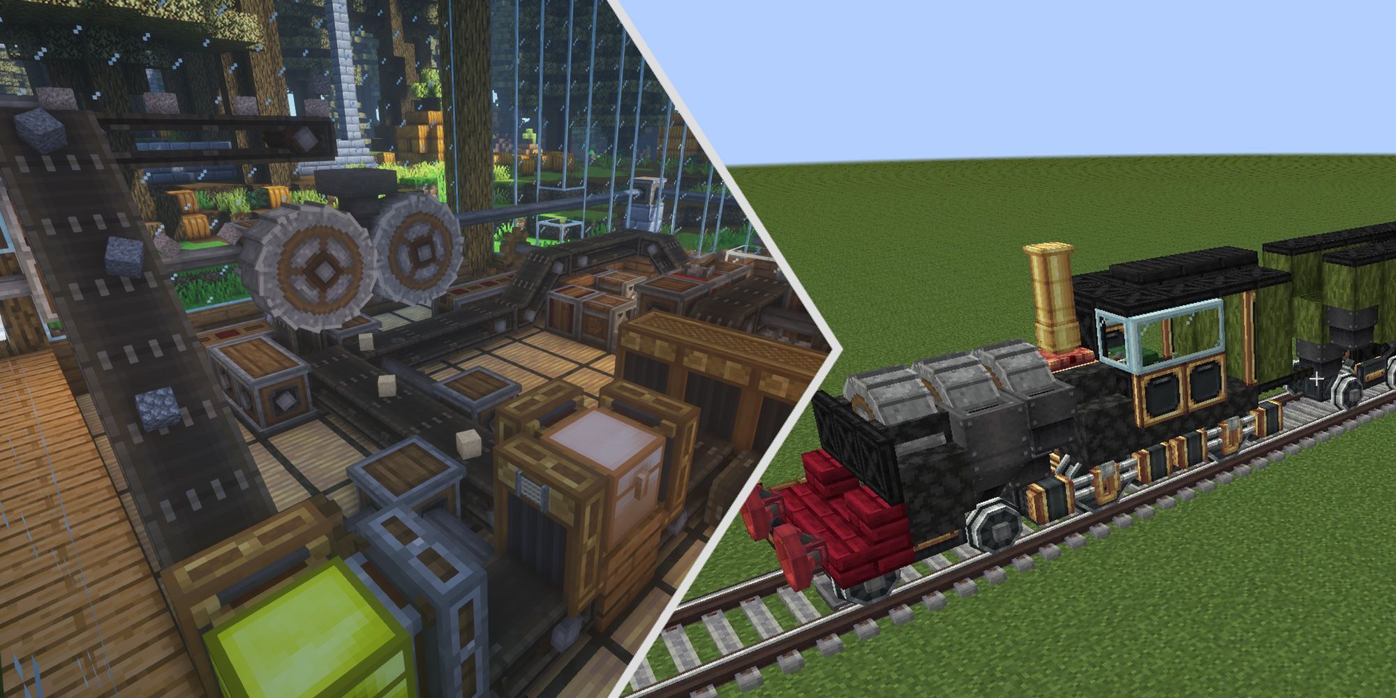
Mod Minecraft Create: Cách Sử Dụng, Công Cụ Sáng Tạo Và Cải Tiến Game

Mod Minecraft Create: Cách sử dụng, công cụ sáng tạo và cải tiến game ...
Create

Create
Bing Create - AI Tool For Images

Bing Create - AI Tool For Images